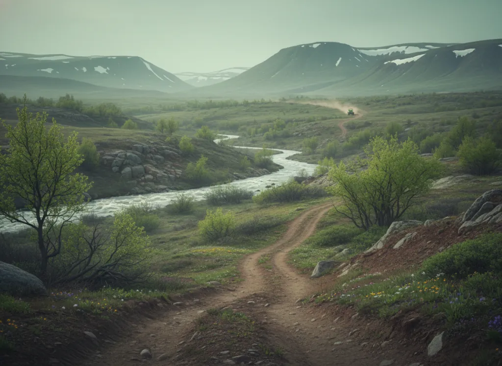
The Paiute ATV Trail is one of the largest organized OHV trail systems in North America: a 900-plus-mile network of designated trails, forest roads, and marked routes traversing the Fishlake National Forest, Dixie National Forest, and BLM lands across Piute, Sevier, Beaver, Sanpete, and Millard counties in south-central Utah. The trail is organized around a 275-mile signature loop that connects the communities of Richfield, Marysvale, Circleville, Beaver, and the Fishlake and Puffer Lake high-country riding zones, with hundreds of miles of branching side routes that give riders the ability to plan multi-day itineraries ranging from single loops to full week-long expeditions. The terrain spans the full range of Utah high-desert and mountain character: red-rock desert on the lower elevations near Marysvale and Junction; ponderosa pine and pinyon-juniper woodland at mid-elevation around Monroe and Koosharem; aspen groves and subalpine fir forest on the higher ridges of the Tushar Mountains and the Fishlake Plateau; and alpine tundra on the highest sections approaching 11,500 feet on Mount Baldy and the nearby peaks. Elevations range from 5,600 feet at Marysvale up to over 11,000 feet on the upper loops. ATVs, UTVs, and dirt bikes are the primary vehicle classes; the scale and variety of the network supports every rider skill level. Utah OHV registration is required. Most trailhead communities (Marysvale, Richfield, Beaver) have full-service camping, lodging, fuel, and restaurants, making multi-day trail trips genuinely practical. The Paiute ATV Trail Committee (435-326-4400) coordinates trail maintenance and current status across the three managing agencies; trail maps and guidebooks are widely available through local outfitters.
Hours
Accessible approximately April through November on lower-elevation routes; higher trails close under snow. No day-use fee on National Forest and BLM land. Utah OHV registration required.
Phone
435-326-4400Website
https://paiuteatvtrail.comTrip openings, seasonal updates, and the occasional deal, straight to your inbox.
FAQ
Everything you need to know before you get started.
Have a question, or ready to book? Reach out and we’ll get right back to you.